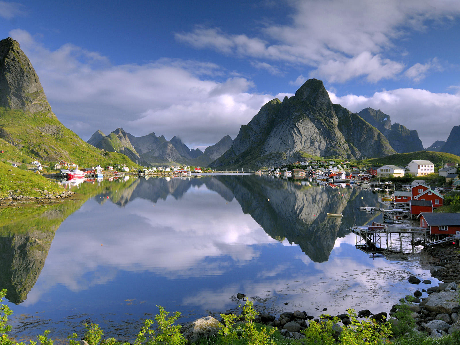
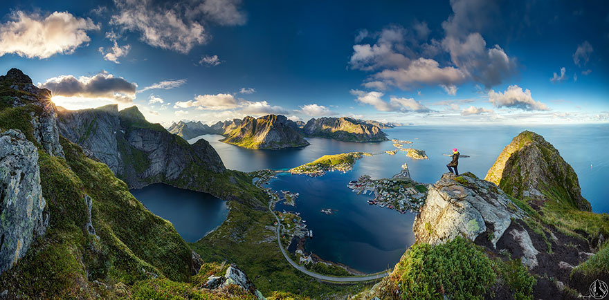
After driving up the beautiful coast of Norway for about 2000 kilometers we arrived for a week of camping and hiking on the Lofoten islands. Someone took the alps and threw them into the sea. This must truly be one of the most stunning places on earth. We visit tons of museums and explore all the roads there are (not very many). The southernmost point reachable by car is the village of Å.


We want to go hiking and pick the only trail we can find, not knowing that this is the attraction in the area. Of course I'm aiming for the highest point again, the Hermannsdalstinden. I've sort of eyeballed it and decided that it should be doable. On the way in we meet lots of other hikers, most of which carry overnight camping gear or stay at a hut halfway to the mountain. Hmm, must be a bit farther than I thought ;-) Anita accompanies me until the Djupfordheia at 510 meters and returns to camp from there.


The trail is good, but very muddy. It follows a cascade of lakes up into the mountains, hugging steep slopes. The ground is such that you often only have a thin layer of moss and mud barely sticking to the rock. In many places this carpet has eroded and slid off the mountain, necessitating creative way finding. We had perfect blue skies on our way up and will have them again on the way down, but exactly on the summit of all places I'm shrouded in a cloud despite waiting for it to clear for forty minutes. A fantastically beautiful place!


No comments:
Post a Comment